Berchtesgaden Alps in Bavaria
Two weeks ago my beloved Bahiya (Ridgeback Girl) died from a standard surgery. The house is so alive with her energy. Bahiya’s presence as a family member and companion is limitless. In a day it can end from morning to evening. This shows how vulnerable life is. She was only 7 years young and the vacuum is unbearable these days. Spontaneously I decided to change the scenery (Tapetenwechsel in German), the daily routine. Seeing something different, going to a restaurant, that distraction helps a bit. So I travel with my family to the mountains in Berchtesgaden and, as usual, I have my camera with me.
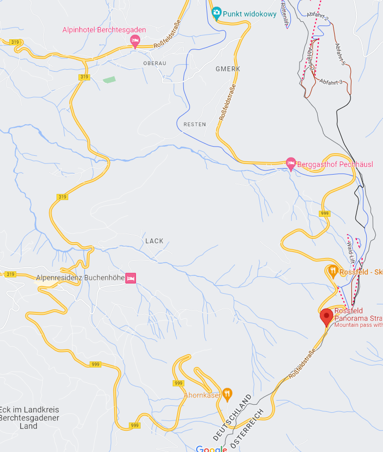
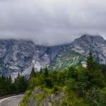
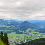
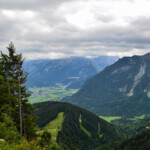
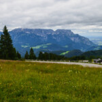
Rossfeld Panorama Street
The Roßfeldhöhenringstraße (officially: “Rossfeldpanoramastraße”) is an alpine road in the legal form of a federal private road in the Berchtesgaden Alps in the district of Berchtesgadener Land, Bavaria (Germany). Open all year and the user fee (toll) is 8.50 Euro for cars (Jul 2022).
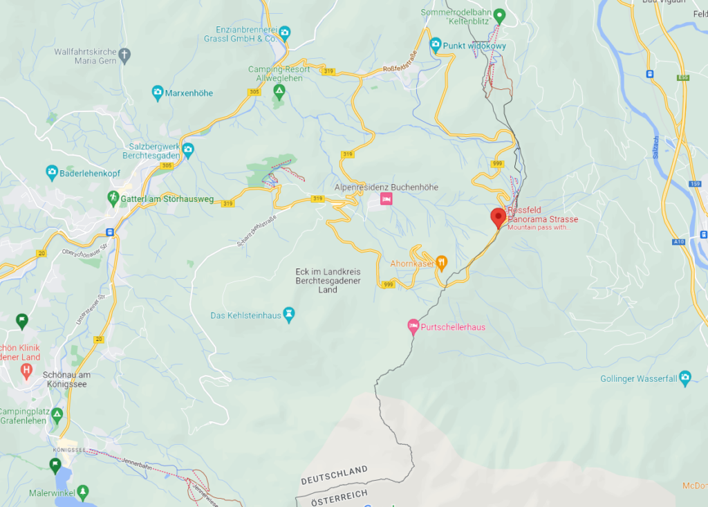
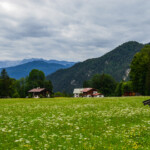
The toll road leads over the Roßfeld, a northern foothill of the Göll. The Roßfeld is located between the Salzach Valley in the east and the Schellenberger Valley in the west, which stretches from Berchtesgaden to Marktschellenberg. In the south, the Roßfeld is towered over by the Hoher Göll (2522 m), in the north it is joined by the Zinken. The panoramic ring road is about 16 km long, the steepest gradient is 13%. With a maximum of 1570 m above sea level. NN it represents the highest continuous road in Germany. The summit section runs partly on Austrian territory.
Official links in English: Berchtesgaden Tourism and Rossfeld Panorama Street
Scenic Views
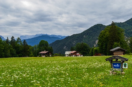
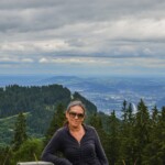
The Roßfeldhöhenringstraße offers a good view of neighboring Austria: to the north the view extends over Hallein to Salzburg and to the east over the Salzach valley to the mountains of the Salzkammergut (up to 1782 m) with the Osterhorn group and the Tennengebirge (up to 2430 m) , in the southeast you can see the Dachstein Mountains (up to 2995 m).
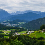
On the German side, the nearby Hohe Göll (2522 m; German-Austrian border mountain) can be seen to the south. To the south-west, the Kehlstein (1881 m) and its foothills to the north, the Obersalzberg, the central massif of the Berchtesgaden Alps, the Watzmann (2713 m) as well as the Hochkalter (2607 m) and Reiter Alpe are striking. To the west, the view extends over the valley of the Berchtesgadener Ache, in which the market town of Berchtesgaden can be seen in a basin, to the Lattengebirge (up to 1738 m). The massif of the Untersberg with the Berchtesgadener Hochthron (1973 m) can be seen in the north-west.
Geographic Map Overview of the Rossfeld Panorama Round Trip
Documentation Obersalzberg
Before the toll booth for the Rossfeld Panorama Road, you will automatically pass the Obersalzberg documentation. This is a place of learning and remembrance operated by the Institute for Contemporary History. At this place you have the opportunity to deal with the history of National Socialism. Not glorious days in this beautiful landscape, but that’s a fact, and the mountains haven’t done anything wrong. The house on the Obersalzberg was Hitler’s second home and vacation home. In the permanent exhibition you will find many photographs from Hitler’s private life and some letters and various documents.
Stay inspired!
Sandra Sachsenhauser
Schöne Gegend und tolle Aufnahmen davon – ein Besuch lohnt sich also!
Eine wunderschöne Gegend um die Seele baumeln zu lassen.